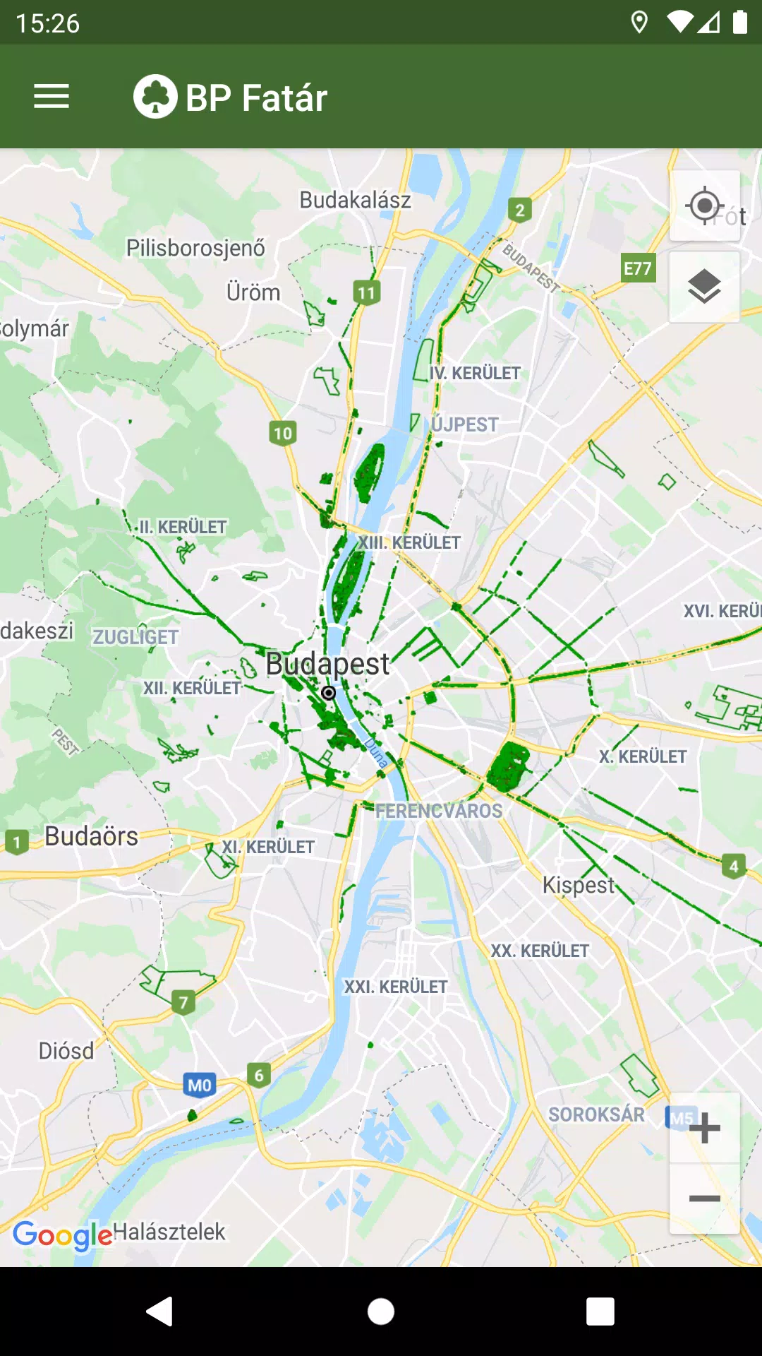
Discover the comprehensive tree and park cadastral services offered by the MAIN GARDEN through the BP Fatár application. This official tool provides access to the public tree and park cadastre managed by FőKERT, enabling you to explore and interact with detailed information about green spaces across several district municipalities.
The BP Fatár application features cadastres from the following district municipalities:
- I. district municipality
- VI. district municipality
- X. district municipality
- XI. district municipality
- XIII district municipality
- XIV. district municipality
- XVIII district municipality
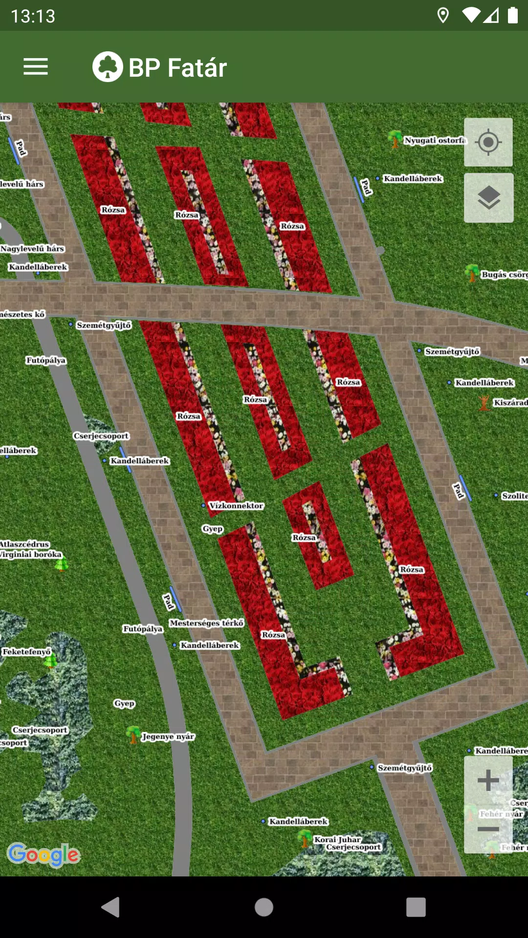
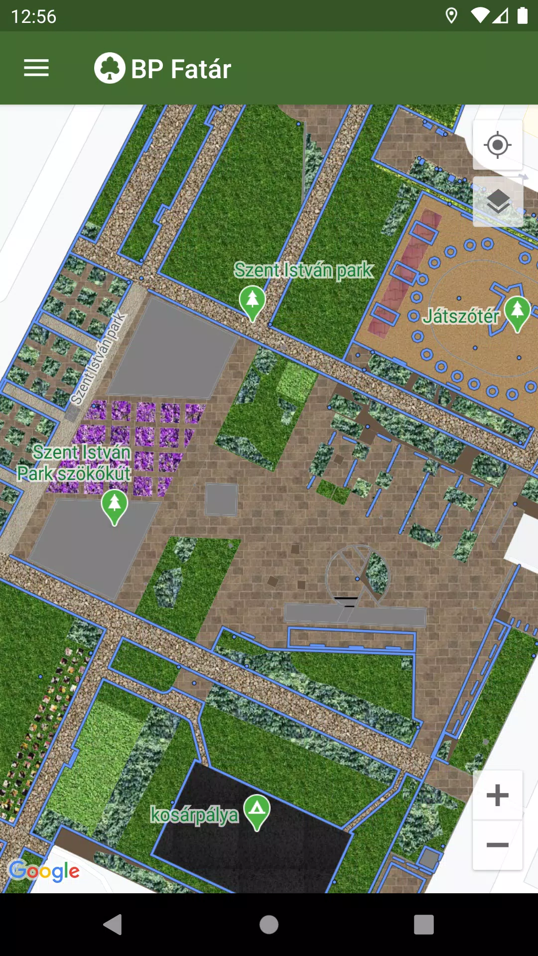
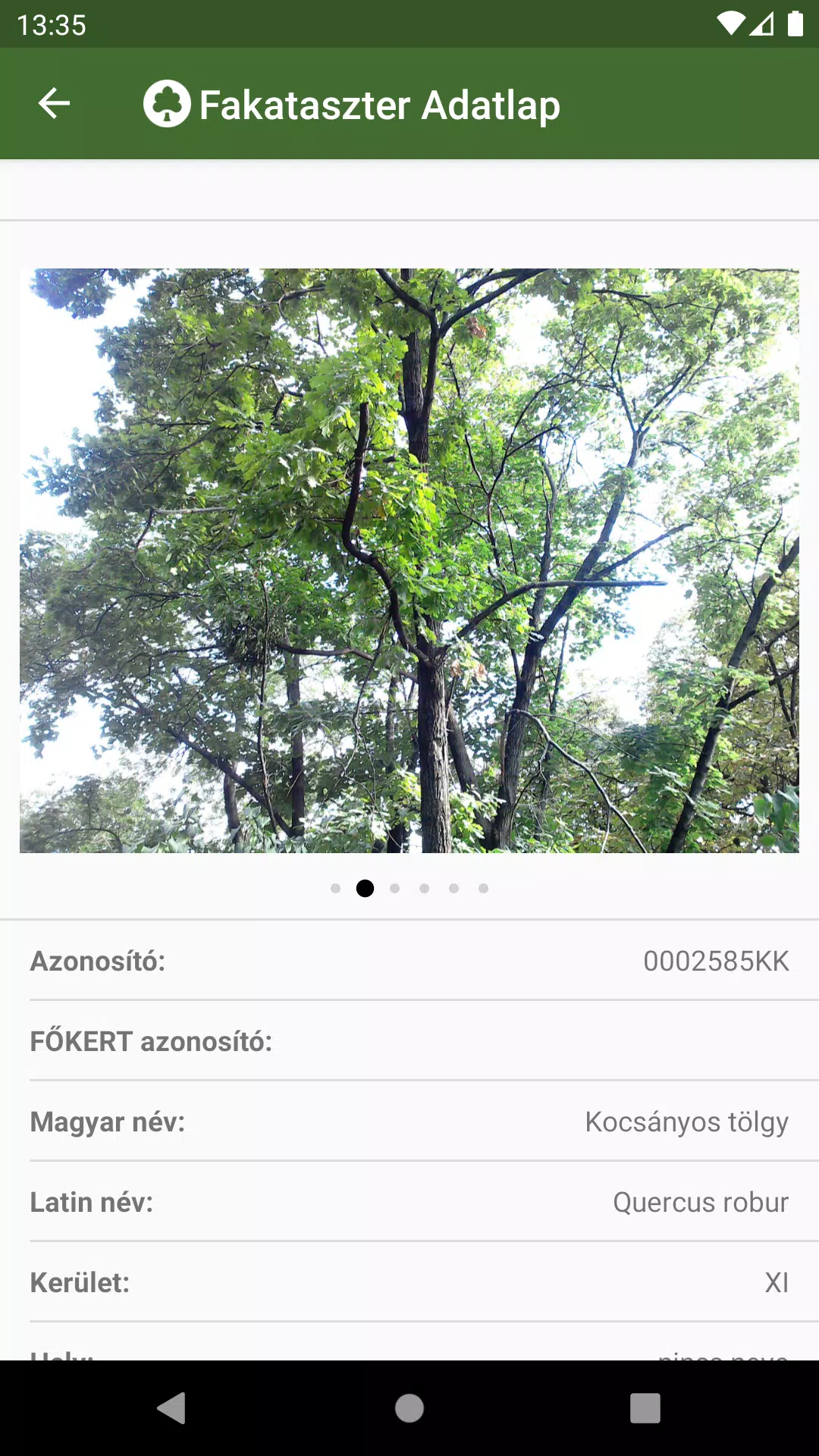
To explore the cadastral data, simply navigate on the map to your area of interest and click on the points, lines, or surfaces that represent the cadastral elements. This action will open a data sheet providing detailed information about the selected element, including photos for a better understanding of the site.
To enhance your navigation experience, we've integrated a robust search engine:
- Search for tree species using the tree scanner with both Hungarian and Latin names.
- Search through categories organized in groups within the park cadastre.
Both search options will display the locations of all corresponding cadastral elements on the map, making it easier for you to find what you're looking for.
If you encounter any issues, such as a damaged tree or bench, you can report them directly to the data manager's staff. Simply click the "Error Report" button on the data sheet of the affected element to initiate the process.
What's New in Version 1.5.2
Last updated on Oct 20, 2024
Bug fixes have been implemented to enhance the application's performance and user experience.
Tags : Maps & Navigation